Map Improvements - View All Planes, Nearby Airports, Premium Map Layers
FlightAware Summer 2014 Map Innovations
View All Planes On Any FlightAware Map
You can now view all nearby flights when tracking a flight; FlightAware will display all of the air traffic around flights that you're tracking. Click the "+" in the upper right corner of the map and check the "Nearby Flights" checkbox.
 { /*
{ /* 
Nearby flights will automatically load and display the airplane icons on the map. You can hover over a flight for more information, or click on it to go to a flight's tracking page.
Currently, FlightAware has to have received a flight plan to display a plane on the map, but in the coming weeks, we will include position-only flights, many of which are sourced from FlightAware's worldwide ADS-B network.
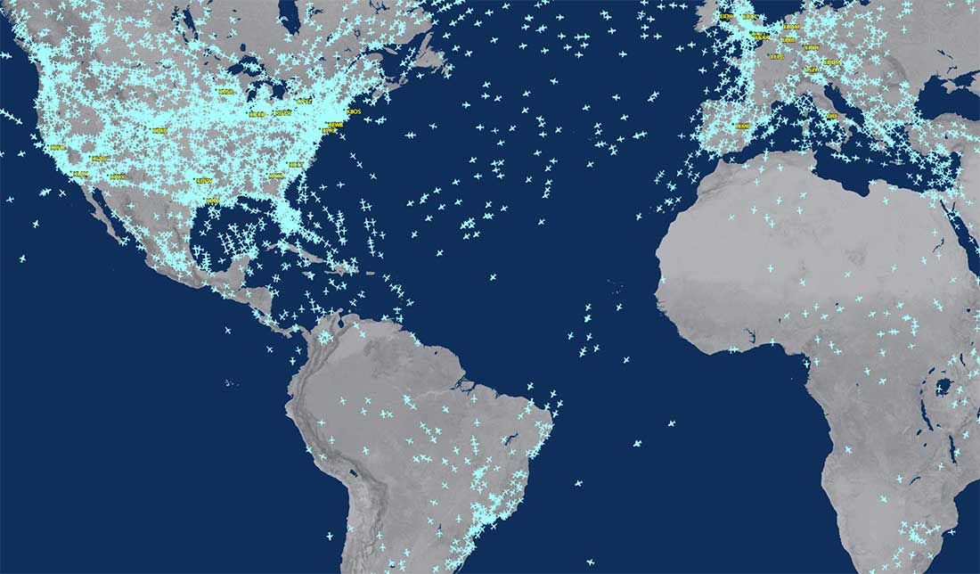
If you don't have a specific flight to track, you can view the FlightAware Live Map to navigate airspace and see all airborne flights.
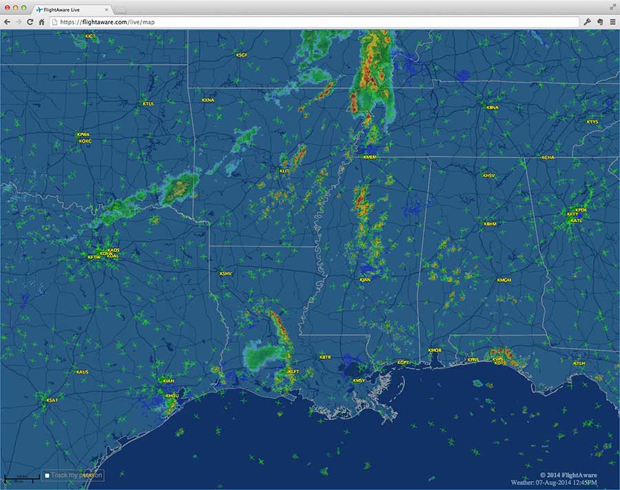
High-resolution satellite imagery (plus terrain & street maps)
Commercial customers (Premium and Enterprise, Global, Selective Unblocking, and FlightAware TV) now have access to premium map layers including high-resolution satellite imagery and multiple colors of terrain and street maps. To try different layers, select the drop-down in the upper right corner of any map to select either: Terrain - Light, Terrain - Dark, Streets - Light, Streets - Dark, or Satellite.
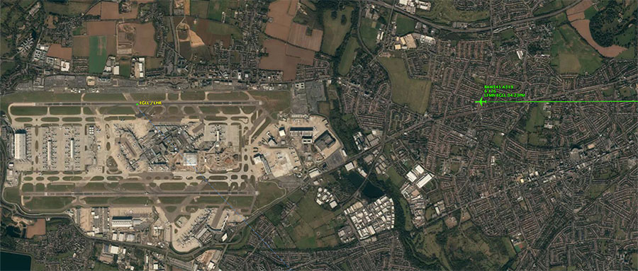
FlightAware's worldwide, high-resolution satellite imagery is made from the highest quality satellite imagery available and allows zooming all the way to the runway surface. In the future, FlightAware will optionally include taxi positions.
If you're not already a FlightAware Premium subscriber, sign up now to try it out.
View Nearby Airports
By turning on the "Nearby Airports" option, maps will automatically show relevant airports considering their size (based on flights per week) and zoom level. For example, LAX (Los Angeles Int'l) will show up when zoomed out to the U.S., but nearby SNA (Orange County) and SAN (San Diego) show up when zooming into California, and then the smaller SMO (Santa Monica) airport shows up when zoomed into the Los Angeles area.
Coming Soon to FlightAware
You can expect a lot more improvements to maps in the coming weeks and months. We'll continue to improve the new base map layers and extend options, plus add more features for interacting with the maps, viewing multiple flights/routes, and more.
We continue to expand coverage by turning up ten new ADS-B sites weekly and are working with over half a dozen countries to include their flight plan & RADAR data. You can also read about FlightAware's constant innovations on our history page that documents updates and improvements.
Thanks for using FlightAware! We look forward to improving the experience for you.
About FlightAware
FlightAware, a part of Collins Aerospace, is a leading provider of real-time and historical flight information and insights to the global aviation community. FlightAware serves all segments of the aviation marketplace through best-in-class applications and data services that provide comprehensive information about the current and predicted movement of aircraft. Through the collection, interpretation, and enrichment of hundreds of sources of data, including data from FlightAware's own proprietary terrestrial ADS-B network with tens of thousands of receivers spanning seven continents in 200 countries and territories, FlightAware transforms millions of raw flight data elements and delivers them as coherent, easy-to-consume flight stories. As a single source of accurate and actionable data for aviation players large and small, FlightAware is Central to Aviation®.

